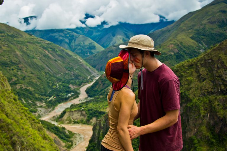
Flying across an 800-foot-deep canyon secured by high-tensile climbing harnesses and dual tandem pulleys is one of the most exhilarating moments on the path to Machu Picchu. On the morning of Day 3 of the Inka Jungle Backpacker and Inka Jungle Premium, travelers head into the Sacsara River canyon in Santa Teresa (1,500 m / 4,921 ft) to experience one of South America’s highest and safest zipline circuits, blending high adrenaline with sweeping views of the subtropical mountain canopy.
📌 Tech Specs: Santa Teresa Zipline Circuit
- Number of Cables: 6 independent aerial runs with individual lengths ranging from 280 m to 900 m (918 ft to 2,952 ft).
- Maximum Height Above Ground: Up to 250 meters (820 ft) perpendicular elevation above the canyon riverbed.
- Top Flight Speed: Up to 60 km/h (37.2 mph) depending on cable gradient and rider weight.
- Certification Standards: Petzl and Black Diamond equipment certified under CE and UIAA norms, using 1/2-inch galvanized aircraft steel cable.
- Suspension Bridge: A 120-meter (393 ft) hanging Tibetan suspension footbridge included in the circuit.
Engineering and Layout of the Sacsara Canyon Ziplines
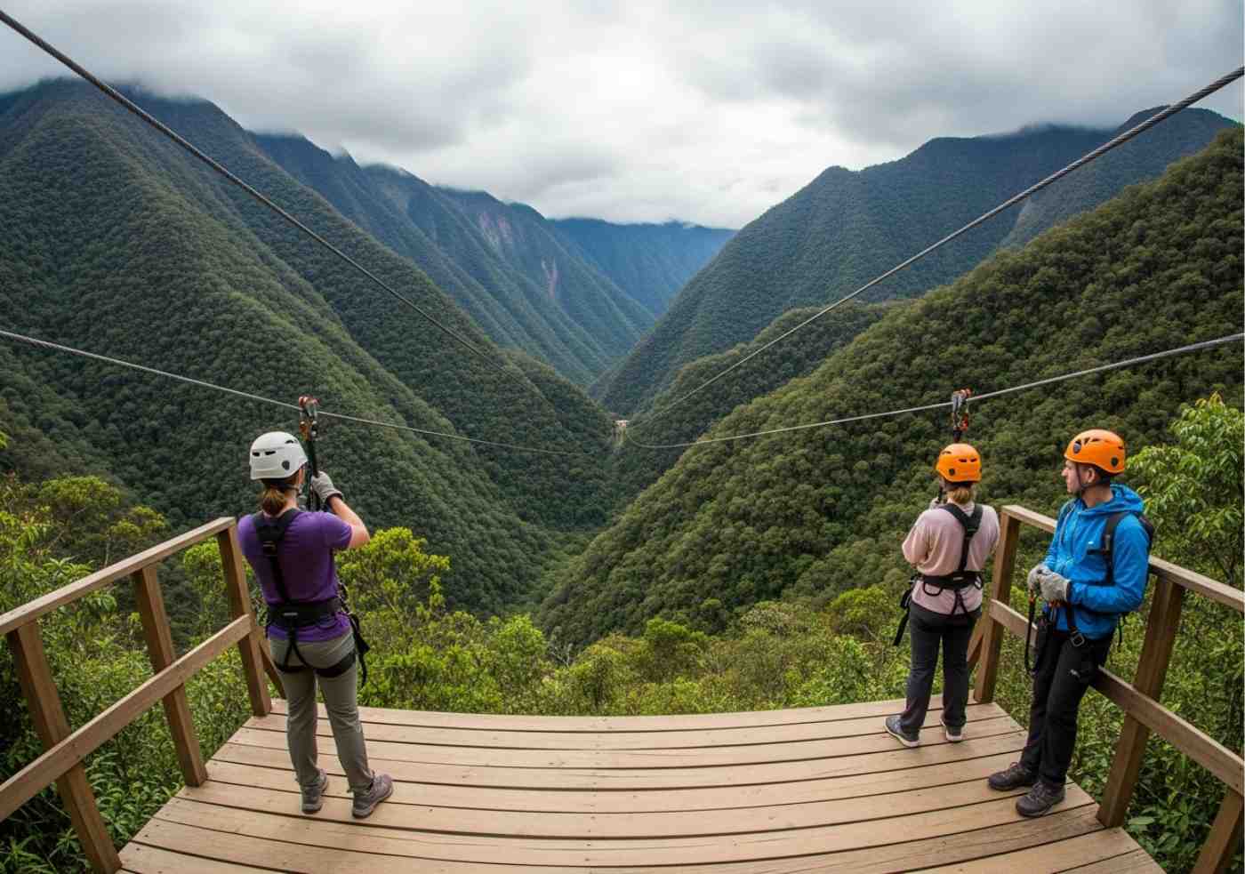
This canopy system is anchored directly into bedrock canyon walls using reinforced concrete pillars. Over 2,500 linear meters of aviation-grade galvanized steel cable crisscross the valley in a progressive layout, where each launch provides a fresh vantage point over the cloud forest.
The first cable serves as a lower-elevation introductory run, allowing riders to get comfortable with pulley sound and body balance. As you advance through cables 3, 4, and 5, the canyon floor drops hundreds of feet below, revealing the silver ribbon of the river framed by dense tropical forest while mountain valley air rushes past at over 50 km/h (31.1 mph).
International Safety Protocols and Technical Redundancy
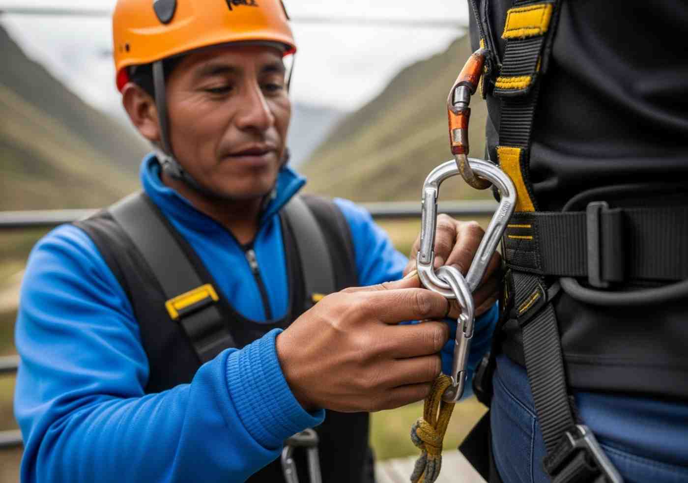
In vertical adventure sports, technical redundancy is the only acceptable baseline. Every participant wears full-body or sit harnesses certified by the UIAA (International Mountaineering and Climbing Federation), a rigid climbing helmet, and reinforced leather gloves with thermal pads for assisted braking.
Attachment to the steel cable uses two tandem pulleys and automatic screw-lock steel carabiners. If one component were hypothetically to fail, the secondary system bears the load instantly without dynamic shock. Guides undergo bi-annual vertical rescue certifications and inspect cable tension daily using mechanical tensiometers.
Technical Profile of the Six Flight Cables
| Cable Segment | Length and Flight Dynamics |
|---|---|
| Cable 1 (300 m / 984 ft) | Introductory run • Moderate height and gentle braking to build confidence. |
| Cable 2 (450 m / 1,476 ft) | Speed pickup • Transverse canyon crossing with views down the Urubamba valley. |
| Cable 3 (600 m / 1,968 ft) | Condor flight • Horizontal face-down flight position over a 200 m drop. |
| Cable 4 (800 m / 2,624 ft) | Maximum height • 250 vertical meters of visual open air above the riverbed. |
| Cable 5 (900 m / 2,952 ft) | Fastest cable • Terminal cruising speeds approaching 60 km/h (37.2 mph). |
| Tibetan Bridge (120 m) | Suspension footbridge with spaced wooden planks swaying over the canyon. |
Overcoming Fear of Heights and Enjoying the Canopy
Feeling a brief knot in your stomach before stepping off the launch platform is natural. However, the mechanics eliminate any sensation of free-fall: you do not drop suddenly, as your weight is smoothly transferred to the cable tension right from the platform gate.
Once aloft, your brain processes the solid harness support and hesitation turns into sheer exhilaration. For travelers wanting extra thrills, guides supervise “Condor style” launches (flying face-down with arms outstretched) or inverted positions, capturing striking action footage high above the jungle.
Daily Logistics on Day 3 of the Expedition
The zipline session runs between 7:30 AM and 10:30 AM, integrating smoothly into Day 3. After finishing the six cables and the suspension bridge walk, private transport brings the group to Hidroelectrica station (1,800 m / 5,905 ft) for a hot lunch, followed by the pleasant 10 km (6.2-mile) flat hike along the railway into Aguas Calientes.